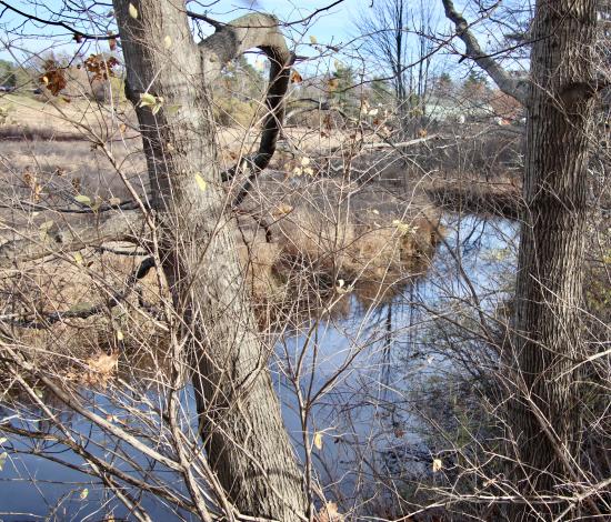
From the trail that goes to the old railroad bridge now being replaced. Date of Photograph Fri, 10/17/2025 - 12:00
From the trail that goes to the old railroad bridge now being replaced. Date of Photograph Fri, 10/17/2025 - 12:00
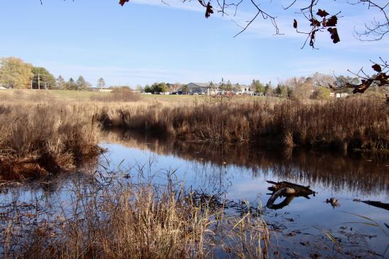
Looking upstream from Rt. 1 towards the Blue Heron Preserve area. Date of Photograph Fri, 11/07/2025 - 12:00